Cape Reinga to Auckland by way of the Waipo Forest

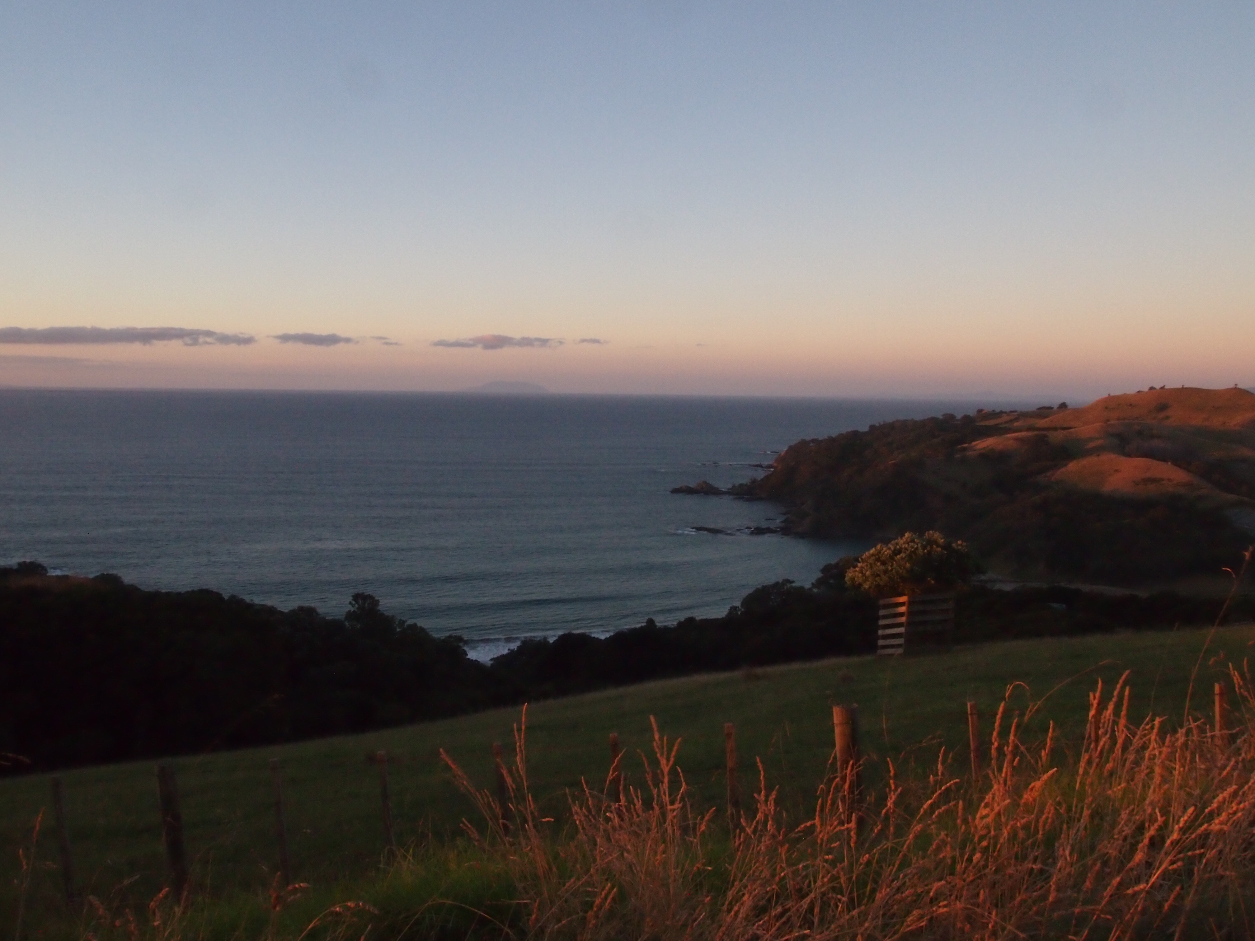
Today we drove north to Cape Reinga. It was pretty foggy on the way up; by the time we reached Cape Reinga visibility was down to five meters or so. The cape was very peaceful except for the surf, which we could hear but couldn’t see — it was too foggy to see off the cliff down to the water where the Tasman and the Pacific meet.
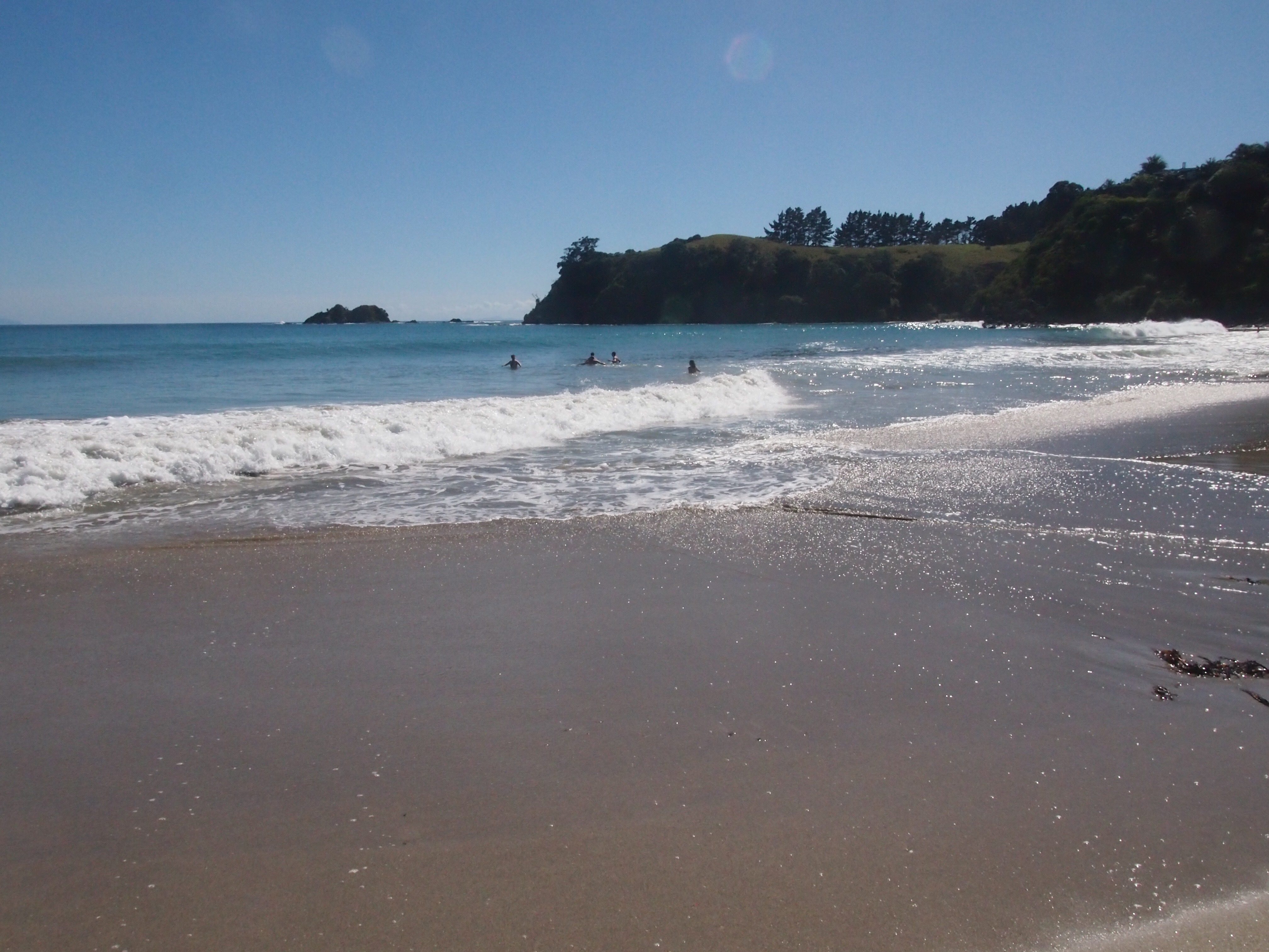
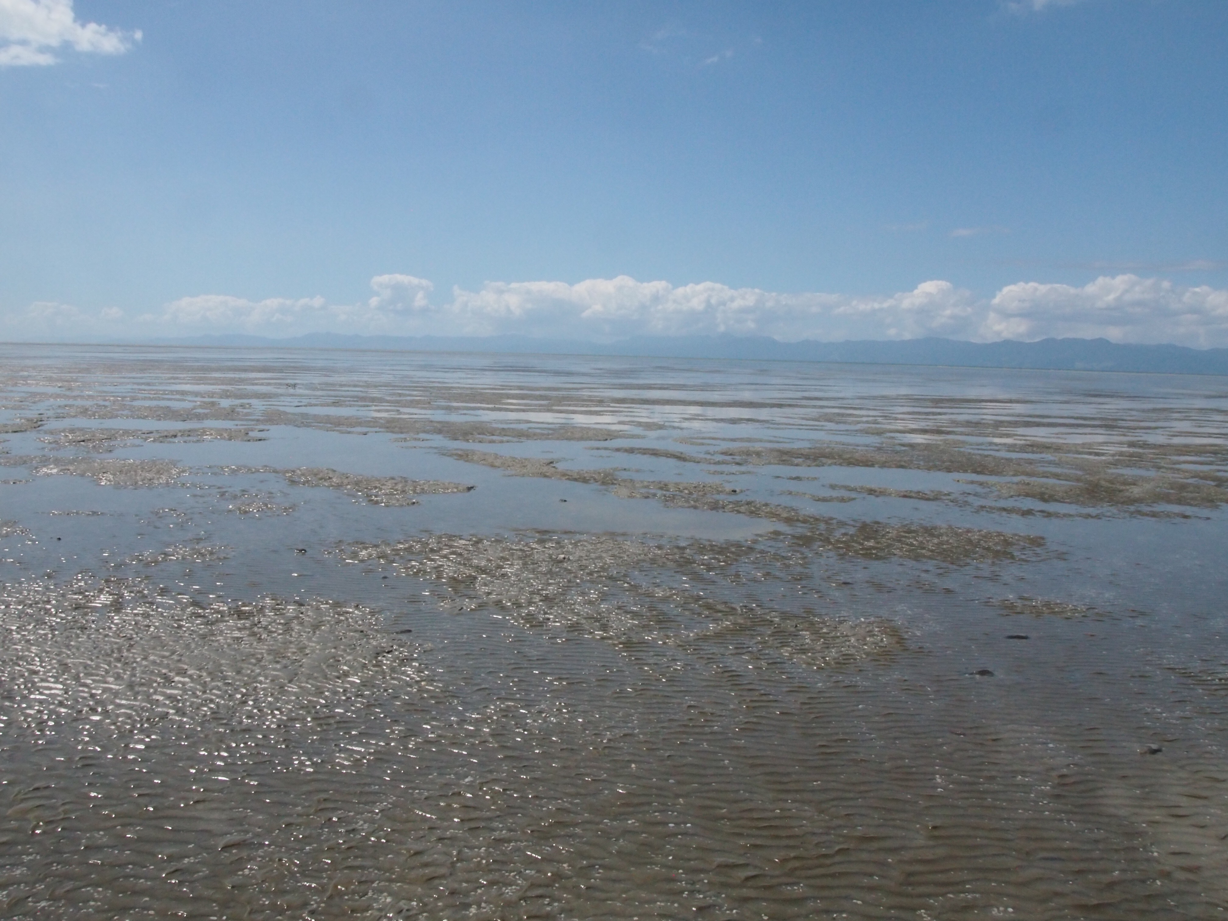
After Cape Reinga we headed south on Route 1 — passing kilometer marker 0.0 and the northernmost traffic circle in New Zealand! — until we reached a turnoff for Ninety Mile Beach. Ninety Mile Beach is actually only 64 miles long, and its sand is so hard-packed that residents can drive on it. We didn’t try that in the rental car, but drove out to the beach and wandered around a bit.
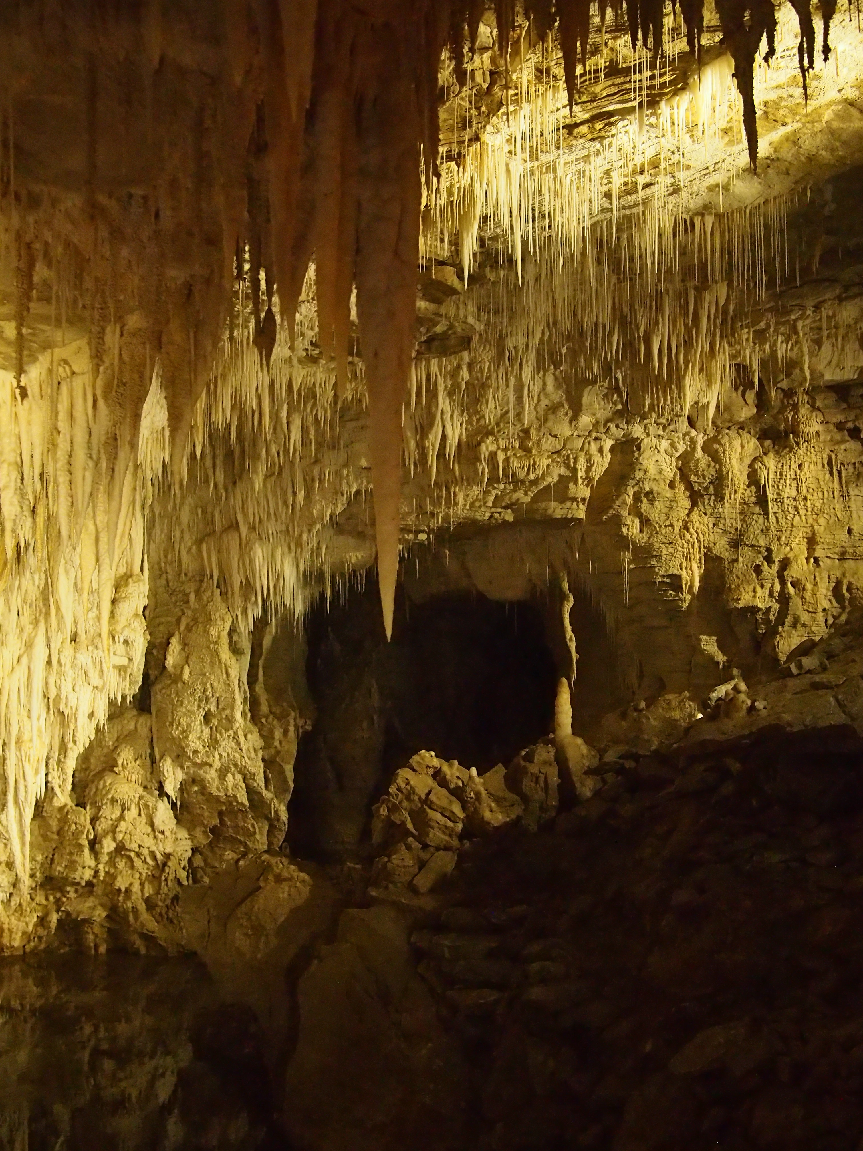
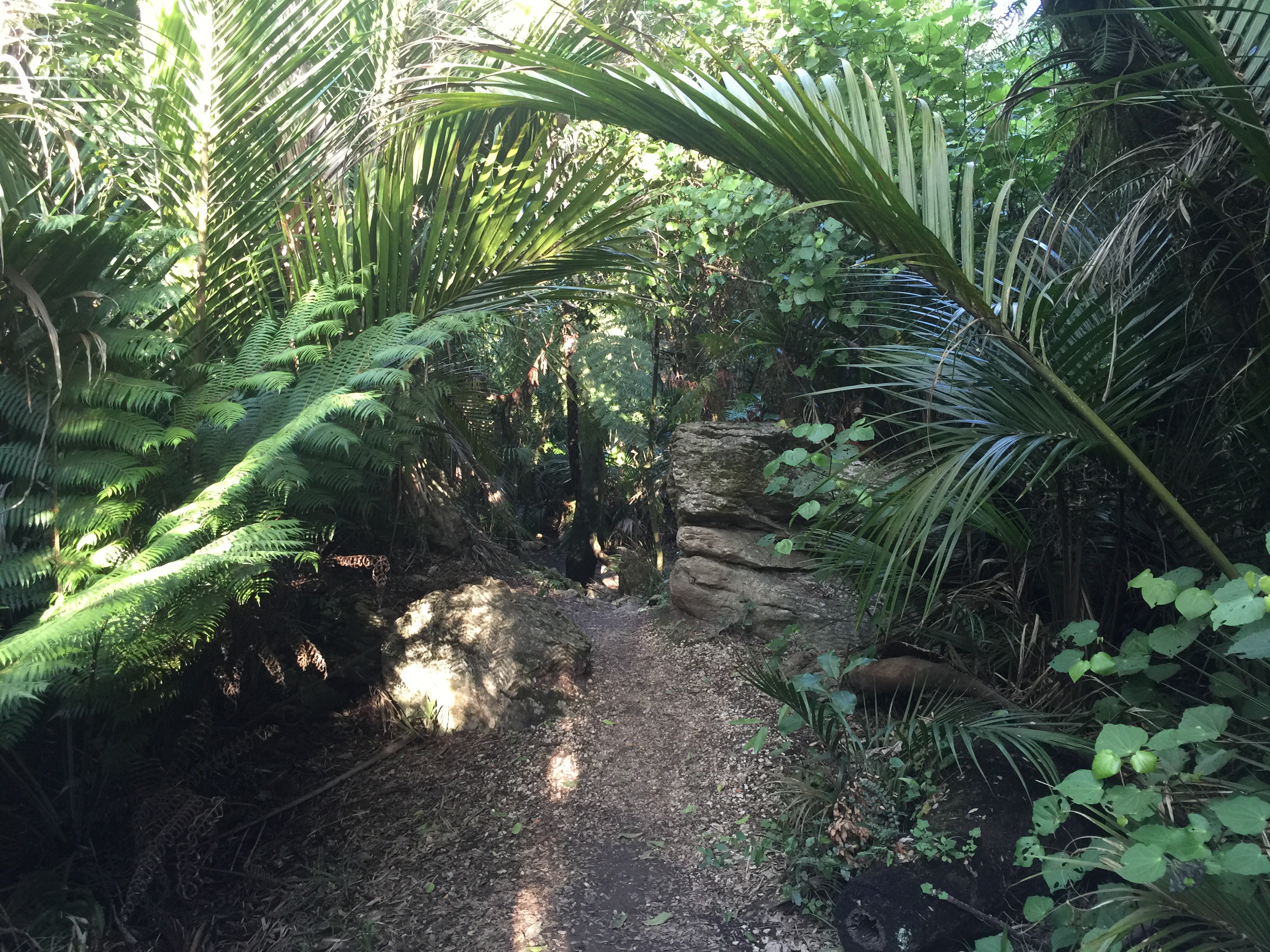
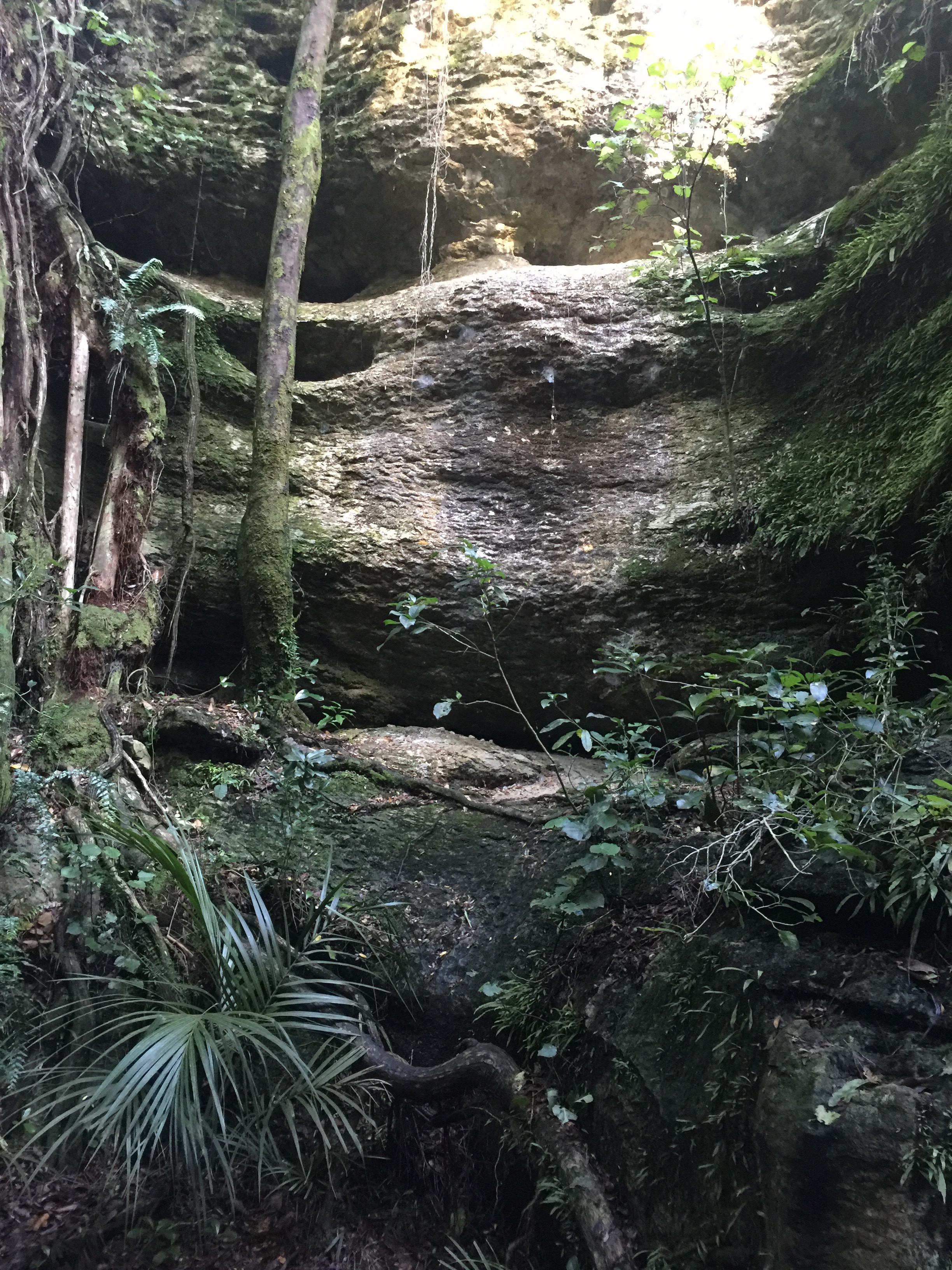
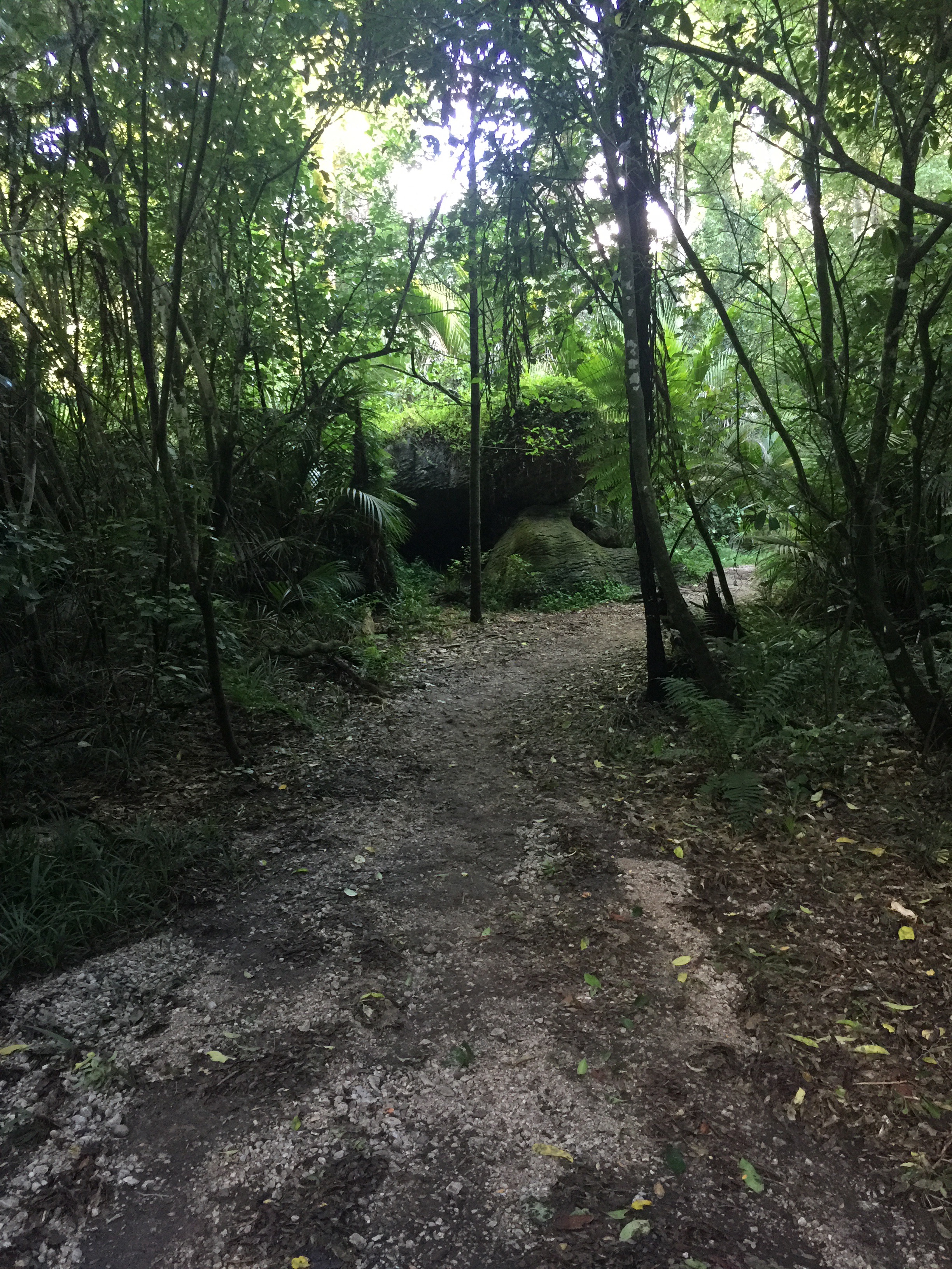
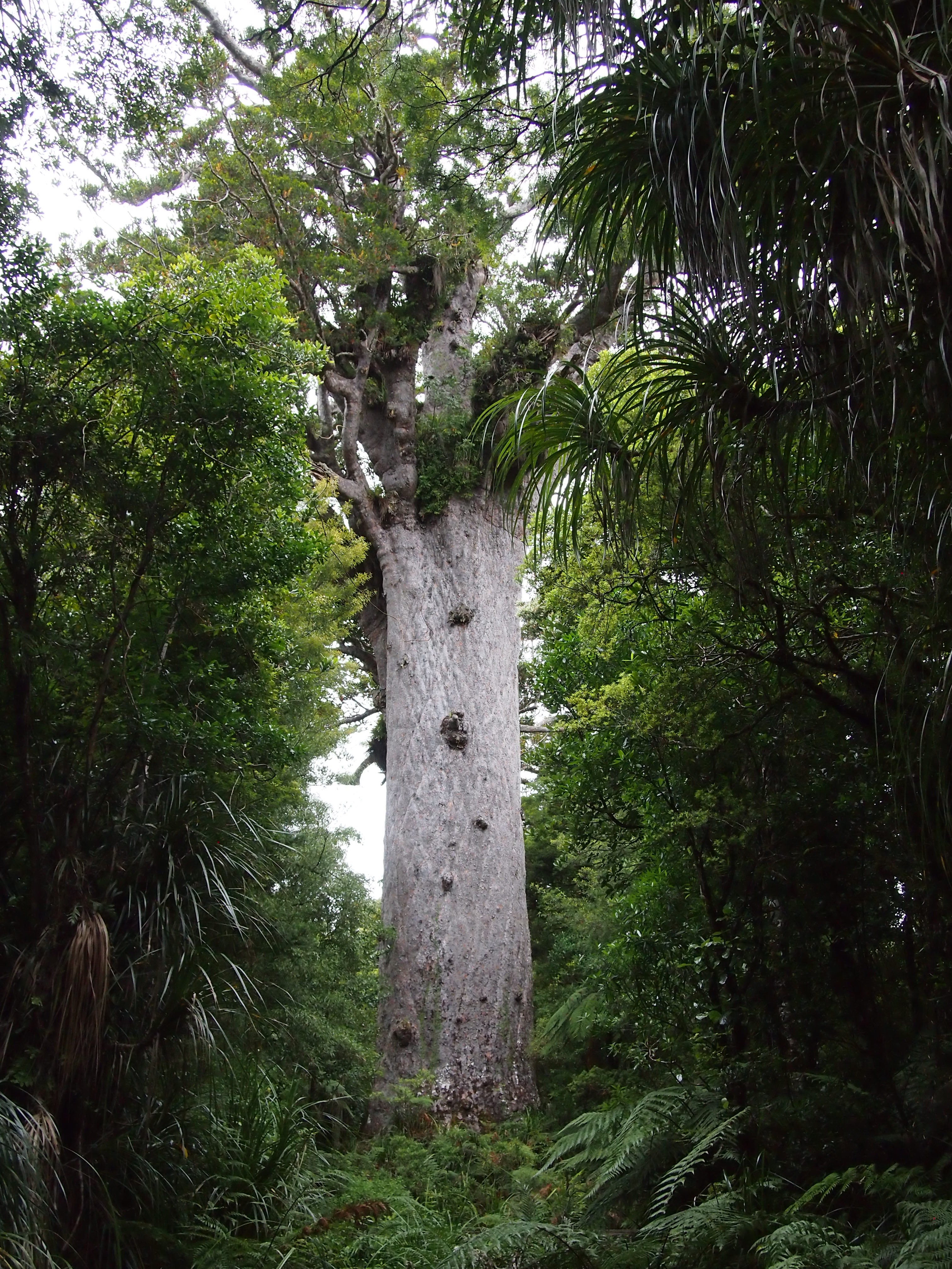
After that we continued south until we reached Route 12, and then turned west, going through several towns on our way to the Waipou Kauri Forest. The kauri are the second-biggest trees after the redwoods, and they’re pretty big. Here’s the father of the forest, Tane Mahuta. It’s 17.7 meters in diameter, and over 58 meters tall.

 After that, we drove out of the forest and down to the first big town after the forest, Dargaville. We went to Blah Blah Blah for dinner; I had the squid salad and garlic bread, and Meg had mussel chowder and the fish special.

After that it was just motoring on Route 12 to Route 1 down to Auckland.

A lot of driving today — we set out at 10:00am, and didn’t get in until 10:00pm. But it was worth it.

Tomorrow is worship at Auckland Friends Meeting, and then if the weather holds, the Auckland Zoo. If it doesn’t hold, we’ll go to the museum instead.

Waitangi Treaty Grounds…

Well, we left Waiheke on the 9:00 ferry, and drove through Aukland headed north. There was a lot of traffic, even at 10:3o in the morning.

Three hours later we made it to the Waitangi Treaty Grounds, where the Waitangi Treaty of 1840 was signed between the British and the Maori. It was a very simple but pivotal document, promising the Maori freedom of government under British rule. 

The treaty grounds are very impressive, encompassing 400 hectares with the original treaty house, a mast denoting where the treaty was signed, and a traditional whare runanga, or Maori meetinghouse. Here’s where the treaty was signed.

   
And here’s the inside of the whare runanga.

 
We did not make it to Cape Reinga today, but Meg says that was according to plan. We are staying in an AirBnB about an hour south, and we’ll head up there first thing tomorrow.

Waiheke Island…

Today was a rest day — I got to sleep in until 8:30, which was heavenly. We got up and walked along the beach at the base of the hill below the Friends’ Meetinghouse, and then met Quakers for lunch. Here’s the beach at the base of the hill:

  
We had another lovely potluck with members and attenders of Waiheke Friends Meeting, and talked some about New Zealand and US politics before settling in for worship. There was a gentleman from Wales also joining us, so it was a multi-national gathering!

Then we came back to the Friends Meetinghouse and snoozed in the afternoon warmth for a couple of hours, reading and napping before going to Charley Farley’s for dinner. We had the salt and pepper squid with a zucchini-halloumi appetizer, which didn’t really taste of halloumi, but that’s OK. After that we went around the northeastern part of the island on an unimproved road and saw some lovely things just before sunset.


Tomorrow we rise early for the ferry before heading north, to the North Cape and Cape Reinga.


Coromandel Peninsula and Waiheke Island…

Yesterday we drove up from Lake Taupo to the Coromandel Penisnula, and then around to Half Moon Bay to catch the ferry to Waiheke Island. 

Here’s a shot of the tidal flats on the Coromandel.  

 We’re staying at the Waiheke Friends house, a lovely facility with a spacious meeting room, nice kitchen, two bathrooms, and two bedrooms, one done up as a bunk room and the other with a queen-sized bed. Here’s the view from the front deck.  

You can hear the ocean and cicadas quite clearly, and the ocean is within easy walking distance, although we haven’t walked down there yet.

Last night we stretched out on the deck and listened to the surf and the cicadas and watched the stars come out.

The sky is different here, but not as different as I’d imagined. For example, you can see Orion, but it’s high in the sky and upside down in comparison with at home. The Southern Cross is very obvious, even more obvious, I think, than the Big Dipper at home. Looking to the south, you see a lot of unfamiliar things (to me, anyway), of course. I had hoped to look for the Large and Small Magellanic Clouds, but the moon is nearly full, and I don’t know where to look. I was told by one of our hosts that on a new moon in a dark sky you can see them quite clearly with the naked eye. Imagine that. 

Today is a rest day; we’re going to go down and walk on the beach soon, and at lunch we’re having lunch with the Quakers that own the meetinghouse.

The other thing I need to do today is think: Packt has asked me for a book proposal. I had sort of decided to give up the technical writing after the fifteenth book, but Packt actually pays pretty well, and seems to have pretty good distribution, and it’s a topic I want to stay proficient in. So I need to decide if I’m willing to do the work or not.

Whakarewarewa and Taupo…

Today we drove from where we’re staying on Lake Taupo to Rotorua, where we went to Whakarewarwa, the Living Village. We hoped to see some Maori culture and volcanic activity, and assumed they were separate. We were wrong! The Maori have a village on the hot springs! We got there just in time for a little cultural performance with some singing and traditional Maori games and poi dancing. Then we went on a walking tour of the village, which was excellent — she told us about the history of the village, and how the Maori use the hot springs for cooking (bag or basket or wrap your food and bury it in a box right on top of a thermal vent!), baths, and so forth.


After the walking tour, we had lunch,  a traditional Maori hangi, which is chicken and fish and vegetables boiled in the hot springs. Here’s a hangi box preparing what may have been the pudding we had for dessert:

  
The hangi was very good — as you might imagine, the food is all very moist. The chicken just fell off the bone; the beef was moist with very little fat, and the vegetables — cabbage, two kinds of potatoes, corn, and carrots — were done without being overdone. Apparently the Maori that live in the village — and many still do — actually use the same hangi in the evenings to cook their dinner. The small houses in the village all have the usual amenities of stoves, microwaves, and so forth, but many prefer to cook using the hangi in the traditional way.

We drove back a different route around Lake Taupo, and stopped at Cafe Ninety-Nine for an espresso on the way back. It’s worth observing that there appear to be two kinds of coffee in New Zealand — excellent, and instant. We’ve had very good espresso every cafe we’ve stopped at (including the airport on the first day!). Most pulls are double shots, and served with hot water so you can make an americano if you prefer. However, when you stay with people, most people have electric tea kettles, so if they offer you coffee, it’s instant from frozen crystals. That’s not nearly as good, of course, but in the morning it’s strong and hot and caffeinated, which is enough to get you going.

Wanganui to Lake Taupo via Ruakuri Cave…

This morning after meeting for worship at the Quaker Settlement, we headed north on Route 3 along the Wanganui River to the Waitomo cave region. It took about three and a half hours to get there. The road was good, and we only encountered a few cars along the way, but there were a lot of twists and turns and construction — apparently there were a series of slides and washouts this last winter along the route, and the road is still being worked on in places. There were lots of one-way stretches, including a scary one where the signal was out and we had to reverse out of the way of oncoming traffic.

We arrived at the main visitor center for the cave complexes at about 2:30, but the next tour we could book wasn’t available until four, so we had an espresso and settled down on the lawn outside to wait. They had a number of tours going to different caves, including a rafting excursion. We picked the walking one, which was about 900m underground, and the only one where you could bring cameras. 

My little Olympus Pen has a pretty slow sensor, and I prefer shooting with no flash, but I still got some OK pictures of the caves:


The highlight of the caves wasn’t the formations, though, but the glow worms. Glow worms really aren’t worms, they’re fly larva, but as the tour guide pointed out, “glow maggot”just doesn’t have the same marketing appeal. I took some pictures of them, too, although they look more like sensor noise than glowing worms!

  
The glow worms were quite impressive in person, especially once you let your eyes adjust to the darkness. There was one part of the cave where we were all asked to turn off our cameras so it would get really dark, and they popped out like stars in a planetarium.

After the cave we retraced our steps most of the way and then headed out to Lake Taupo, where the AirBnB we’re staying at for the next two nights is. We were met by Linda, our host, and her dog Jacky, a little Jack Russell terrier. We had a lovely cup of tea and some fresh-baked lemon bread and a nice conversation. 

Tomorrow we head off to Rotorua and to some of the local Maori sites.

Wellington to Wanganui…

This morning we slept late — I had night terrors and snored, which woke Meg up, who woke me up and chewed me out and asked me to stay awake, which I couldn’t do — followed by breakfast with the other guest, Alan, at George Fox House.

We then went next door to the Quaker Meetinghouse, built in the 1930’s, and had a lovely meeting for worship with twenty-five members and attenders from around Wellington. Meeting was completely silent, but otherwise the structure was what you’d expect, except that at the rise of meeting, before announcements (which they call “notices” there was a call for “almost ministry”, an opportunity for anyone to speak who had ministry forming but hadn’t had it crystallize yet. I’m not sure how I feel about the practice — I know that Santa Cruz meeting has experimented with something similar, which they called “Afterthoughts” when we were there.

After the rise of meeting, we partook in a lovely prepared lunch potluck — just what they were doing, nothing special for us — and had lively conversation with a number of the Friends there before loading up and heading out.

We stopped about two and a half hours later in Palmerston North, where we had homemade cake with Liz, the sister of Janet, who’s watching our dog and is a regular attended at our meeting. Liz was a very gracious host, and we had a lovely conversation about a lot of things, including New Zealand politics and places to see on the North Island.

Then we headed to The Quaker Settlement, an intentional community of Quakers where we were going to spend the night. We got here around 6:30, just in time for a shared meal we didn’t know about, so we didn’t even have to go out to find food — we sat down and talked with a number of students on retreat here from Earlham School of Religion over dinner and chocolate zucchini cake.

After dinner, we got a tour of the twenty acres — a lot of it is being recovered, having originally been a Quaker school and operating farm until 1975. The folks living here are working to recover the land, which is mostly sandy soil dunes, with a combination of existing (mostly invasive) species and native species. They take a hybrid approach to the project, creating micro habitats for animals where there were none before. It’s really an excellent example of stewardship and recovering the land for future generations.

Tomorrow morning we’ll have breakfast and then join them in their morning worship before continuing on our way.

Golden Bay to Wellington…

Yesterday we drove from Golden Bay across the Takaka pass through Nelson to Picton, to take the ferry to Wellington. It was about a four hour drive, so not the marathon run we had the day before. The Takaka pass is quite something; it reminds me of the road up Mount Hamilton to Lick Observatory— switchback after switchback climbing at a 7% or 8% grade. Every kilometer or so there’s a “slow vehicle bay”, or a “stopping vehicle bay”, and it seems that everyone knows what they’re for, which worked really well — you can actually get in and out at quite a clip. The road is signed at 100 kph, but I doubt I did more than 60 kph on any part of it because it was so windy. And as with the Otago Peninsula, there were very few guardrails — it would have been very easy to drive off the road if you’re not careful.

We got to Picton over an hour before we had to board the ferry, which was a bit of a relief, because I misread a road sign and spent much of the last hour of that drive biting my nails thinking we were on the wrong road and we were going to miss our ferry, even though the GPS kept reassuring us that we were going the right way. There are two roads into Picton, the narrow windy one we took, and route 1, which is the main road up from Christchurch.

The ferry continues the highway to Wellington; the ferry boats take cars, vans, buses, the works. I think it seats about 1300, although I’m not sure. Embarkation was orderly but slow; Meg splurged for us and got seats in the VIP lounge, which had couches instead of airline-style seats, and free food throughout the three and a half hour crossing — so we had lunch and high tea after a fashion, along with a glass of wine to start and an espresso to finish. I spent most of the trip reading back issues of CACM, which will lighten my bag significantly now that I’ve had a chance to recycle them. There wasn’t a lot to see off the boat — the countryside in the sound is mountainous with forest leading down to the water, but of course the channel is through the middle of the sound, so you don’t get very close to the shore. 

We had to drop our car in Picton, and get a new car in Wellington — the car company doesn’t want cars crossing between islands, because it raises Cain with their inventory control. Because we didn’t check bags, we were off the ferry and in our new rental car in what must have been record time — I’d guess no more than ten minutes total. After that was a series of wrong turns and then a drive through Wellington center to Wellington Friends Meeting, where we were staying in the Goeorge Fox house, a guest house run by the meeting. We were met by Ralph, who is filling in for the caretaker, who showed us our room and chatted with us over a nice cup of tea before we walked down into town to get dinner.

Dinner was at a hole-in-the-wall Lebanese place having won “Best of Wellington” awards for the last three years, an award from Lonely Planet, and an award from TripAdvisor. It was excellent! I had some sausage wrap thing, which was spicy but not uncomfortably so; Meg had a combination plate of lamb, salad, and rice. 

A bit on driving…

I have not actually described the driving much around here. Getting used to driving on the left hand side of the road was easier than I thought it would be, although every morning I wake up anxious about the day’s driving ahead, and am relieved when we get to where we’re going. Most drivers have been very polite, although there have been a few bad ones — who may well be tourists like us, this is the height of the tourist season and there are a lot of tourists.

The semiotics of the road signs are very similar to the US — the main exception is that the “Yield” sign says “Give Way”, and there are no turns at red lights anywhere on the islands. The top speed is 100km/h on highways, and most highways are two-lane, single-carriage way, with passing lanes and/or “slow vehicle bays” every few kilometers on the straight stretches. You stay left except to pass at one of those places, although much of the rest of the road is marked to permit passing, including in places where it would be utterly crazy to do so. Most roads are clearly signed.

There aren’t a lot of advertising billboards, and the few that are are usually road safety signs warning about things like speeding or road fatigue. My favorites so far have been “Don’t count sheep while driving” and “Expect motorcycles. All the time.” The last gives me an image of motorcycle drivers raining from the heavens.

Off to Wellington!