Last report at unknown
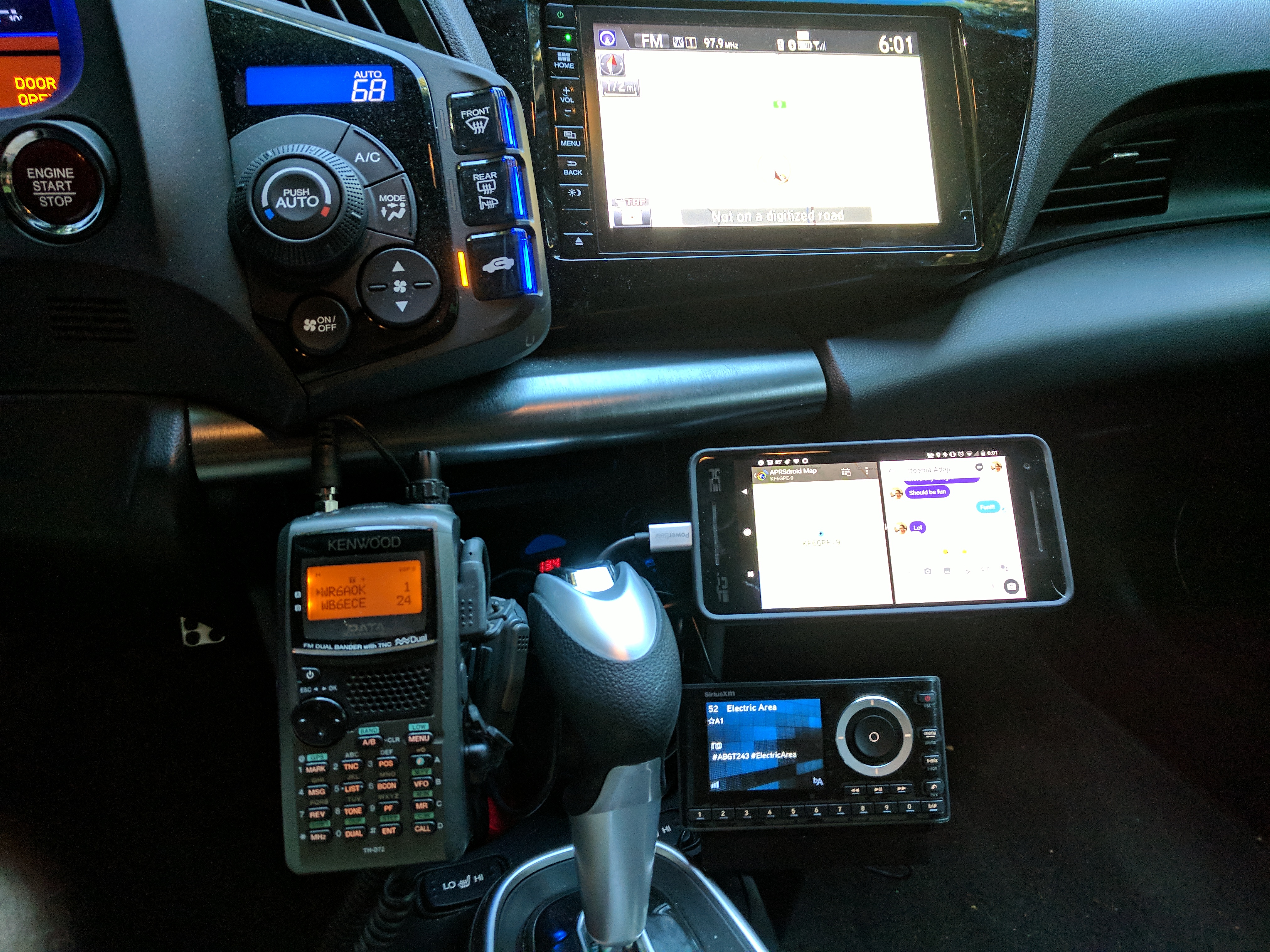
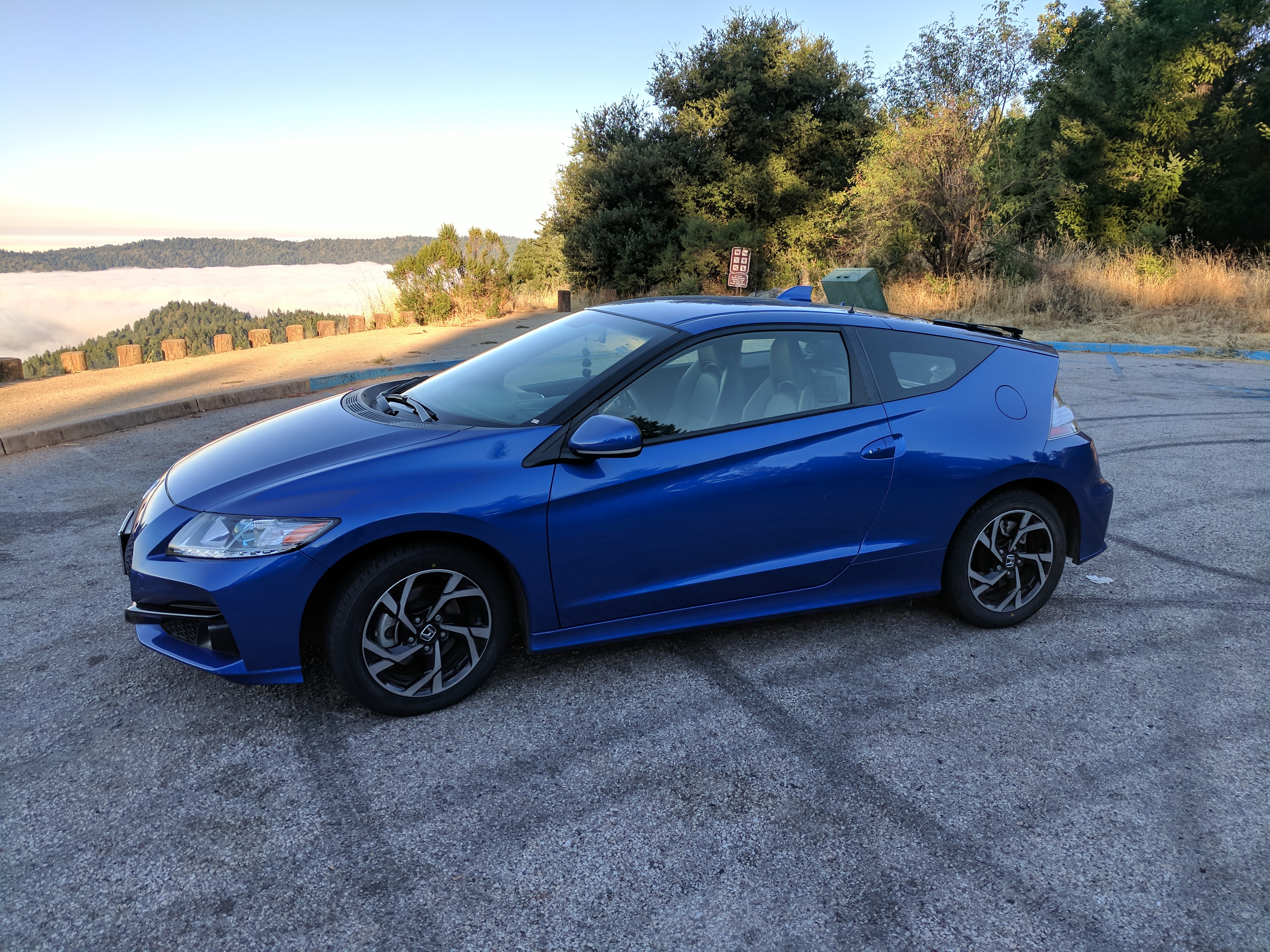
The usual configuration when I operate mobile in my 2016 Honda CR-Z is Kenwood TH-D74A running off of a three-port 12V extension outlet that includes a built-in voltmeter run to the ignition-switched 12V car outlet. The 'D74A is used for APRS on one VFO, and D-STAR, FM phone on the other. In a pinch, I can retarget it for secondary digital operations (such as Winlink to an Android tablet). The radio is connected to a head Lido mount attached to a seat bolt.
If I need an APRS client, I run APRSdroid on a Samsung Galaxy Fold. When I do that, APRSdroid connects over Bluetooth to the TH-D74A. Normally, though, I just operate the 'D7A as a stand-alone tracker.
For antennas, I use a couple of dual-band low-profile magmount antennas, one dedicated to the radio, and one in case I bring another 2m/70cm radio with me. I can't remember who made them; they've been moving from car to car to car for about fifteen years. I would not be surprised if they are from MFJ Enterprises, though. The coax runs along the center console, along under the back cargo shelf, and then up and through the rear hatch and on the rear of the vehicle.
I can also update the APRS-IS using a little Tasker script I've put together, which you can get from my Github.
 |
 |
When pedestrian mobile, I either use the same Android phone running APRSdroid over WiFi and 4G with Project Fi (depending on where I am), or my Kenwood TH-D74A. I have been known to throw the 'D74A in a cupholder in my wife's car when I drive that somewhere too, or else just use the phone and the cellular network again. Recently I put together a little Tasker script that does TCP/IP updates to APRSIS from my phone as I roam around during the day, too.
I have written a small Python service that uses aprslib to connect to the global APRS-IS feed and harvest the position data that I beacon. This service makes the latest position packet contents available via a REST web service, and then this page queries that service and uses the data it gets and Google Maps to generate a static map with the marker you see.
Occasionally, the map may fail to load. This can happen because my service keeps only a memory-resident cache of where I've been; if the server is restarted and I have not sent a position packet, no data is available and you'll see a placeholder image. Someday I'll modify the service to occasionally dump its in-core contents to disk, and load that image from disk when the service starts. Currently, restarts are infrequent enough that this shoudn't happen very often.